© Anderson Wrangle
Pressures and Promise
By Anderson Wrangle
Artist: Anderson Wrangle
Project: Savannah River Basin Photographic Survey
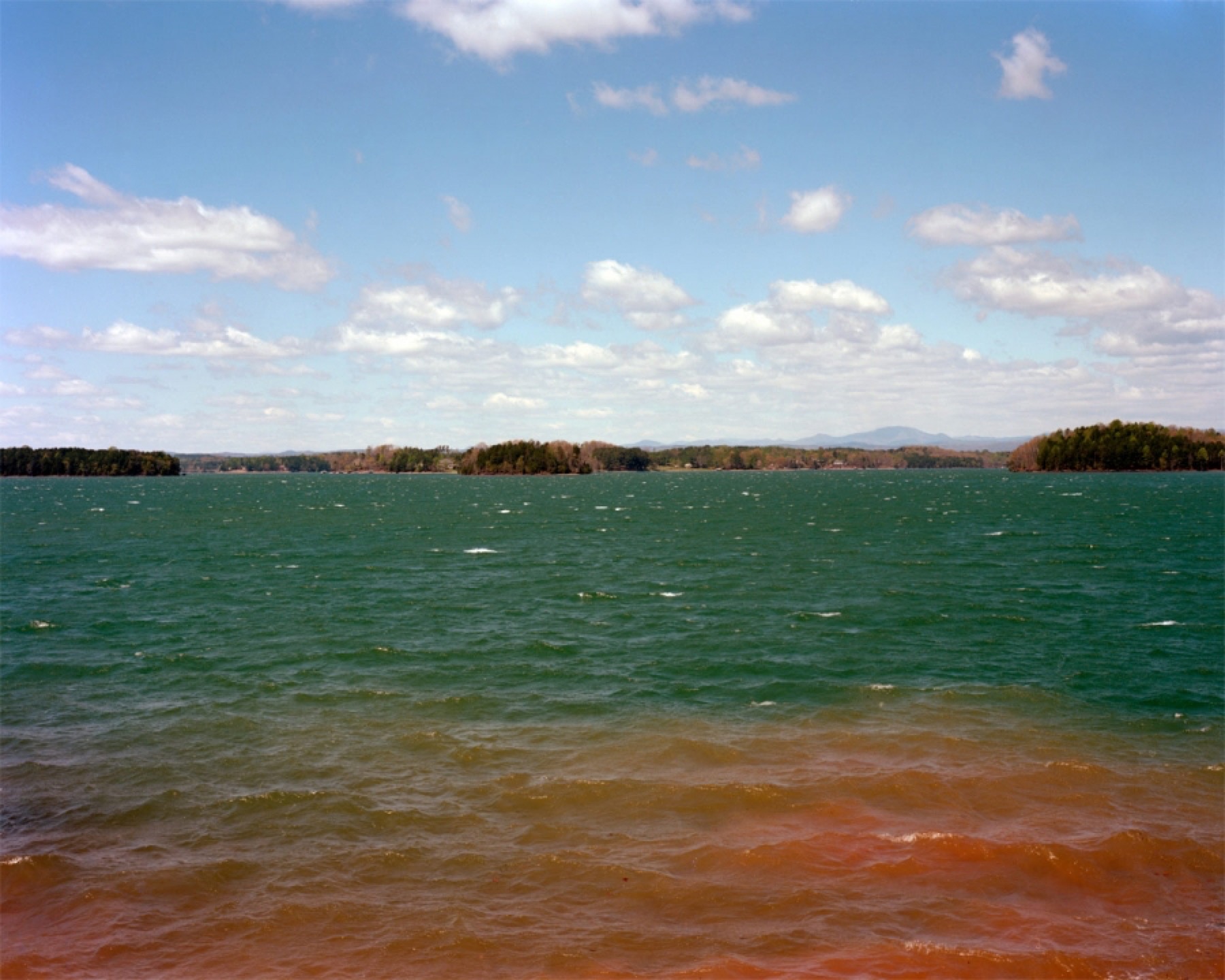
Description: With reverence and a sense of environmental urgency, Anderson Wrangle traces the course of several tributaries, including the Chattooga, Tugaloo, and Seneca rivers, as they wind their way to the Hartwell Dam and the Savannah River. Consisting of images of rushing streams, secluded lakes, and the structures that disrupt or contain these waterways, the Savannah River Basin Photographic Survey depicts water as both a vital resource and a recreational point of connection. The series illustrates Wrangle’s perspective that art, in conversation with ecology, can be an important tool for environmental education and that the “pressures and threats to our environment should be considered even as we appreciate the beauty and promise of the Earth.”
-
Whiteside Cove, view of Whiteside Mountain, above the confluence of the Chattooga River, and Fowler Creek, near Cashiers, NC.
-
Iron Bridge, Bull Pen Road, Chattooga River, North Carolina
-
Chattooga River, North Carolina
-
Silver Run Falls, Whitewater River tributary, near Cashiers, NC
-
The view north on the Chattooga River, Burrels Ford, South Carolina/Georgia Border
-
Chattooga River at Highway 28, South Carolina/Georgia Border
-
Mathis Dam, which forms Lake Rabun, Tallulah River, Georgia
-
Below Yonah Dam, Tugaloo River, upper western arm of Lake Hartwell
-
Lake Jocassee, view from Jumping Off Rock, Jocassee Gorges
-
Horsepasture River, Lake Jocassee, Foothills Trail footbridge
-
Thompson River, Lake Jocassee
-
Surreal islands, Lake Jocassee
-
In Jocassee Gorges State Park
-
Oconee Nuclear Power Station, Lake Keowee
-
A big blow, Lake Keowee
-
Woodside II Dam (1895) at Twelve Mile Creek was one of two dams on the river destroyed in 2011 as part of a PCB remediation project. The river and Lake Hartwell are contaminated with PCBs from the Sangamo capacitor factory in Pickens, which dumped waste directly into the river from 1955 to 1977. The dams served the now defunct mill at Cateechee, SC.
-
Newry mill pond, remnant of the Little River, the majority of which is submerged below Lake Keowee and Lake Hartwell.
-
Keowee River/Lake Hartwell, outflow from Keowee Dam running fast below Highway 183.
-
Keowee River/Lake Hartwell
-
Lake Hartwell, looking toward Clemson, SC, near Twin Lakes.
-
Tugaloo River/Lake Hartwell, Cleveland Pike Road, Georgia/South Carolina Border
-
Lake Hartwell
-
Savannah River, view of Hartwell Dam, and Highway 29
https://www.oxfordamerican.org/item/1742-pressures-and-promise#sigProIdec882d18e3
Eyes on the South&\#xA0;is curated by&\#xA0;Jeff Rich. The weekly series features selections of current work from Southern artists, or artists whose photography concerns the South. To submit your work to the series, email Jeff.